
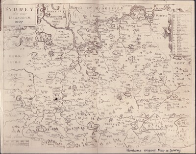
Norden's survey of Surrey is recognized as the earliest example of any English county map to include roads, which he marked using distinct dotted lines
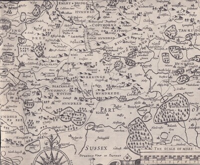
John Speed relied heavily on Norden's Surrey surveys to publish his own decorative maps, which inset illustrations of well-known Tudor landmarks
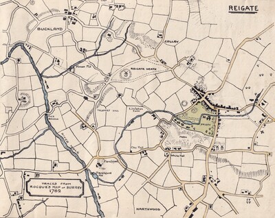
John Rocque surveyed the county in the late 1750s at a scale or 2 inches to the mile. The map was completed and engraved by Peter Andrews and published by Rocque's widow, Mary Ann Rocque, in 1762. It shows in considerable detail pre-industrial Surr
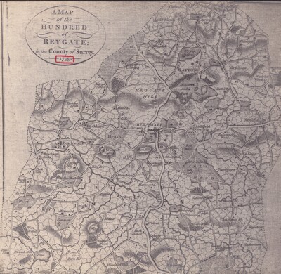
The map shows the 18th century network of local roads and turnpikes, and the extent of Reigate's administrative area
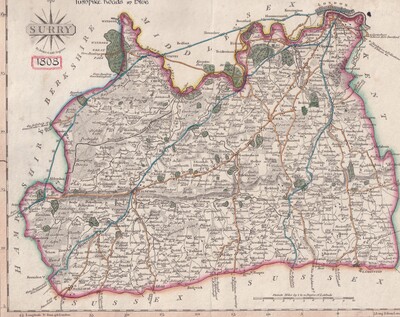
Cary's map shows clearly the transport routes coming out of London in the years before the railway age
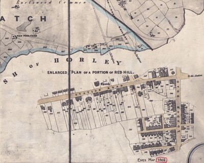
William Eve surveyed the parish of Reigate to create an official revision of the older Tithe maps. He mapped two distinct sections: the 'Foreign' (the outer rural parts of the parish) in 1860, and the 'Old Borough' (the centre of Reigate) in 1861.
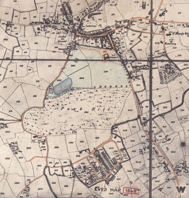
Showing a part of Reigate
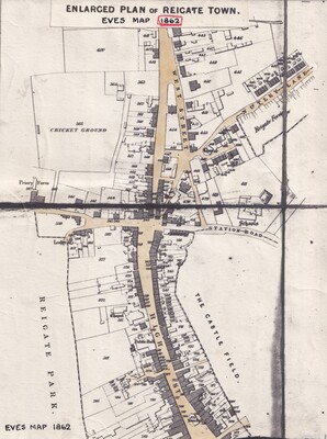
Showing a part of Reigate enlarged
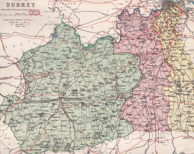
The parliamentary constituency of Reigate was abolished in 1868 for rampant corruption in the election in the previous year. This map shows the constituencies in Surrey before the Reigate constituency was reinstated in 1885
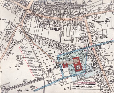
A plan of the probable location of the Priory buildings overlaid on the OS map of 1935